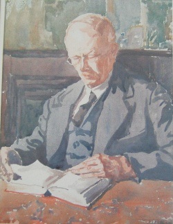
Mr Alfred Sifton
The Map House is London's oldest specialist antiquarian map seller. Founded as Map and Booksellers by Alfred Sifton and Francis Praed in 1907, we have been selling maps to collectors, motorists, aviators, explorers, Prime Ministers and the Royal Family for over a century. We have supplied maps of Antarctica to Ernest Shackleton, the Far East to Winston Churchill, and the Western Front to Edward VIII, as well as important pieces to the British Library and the Library of Congress amongst many other prominent institutions and collections.
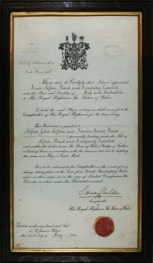
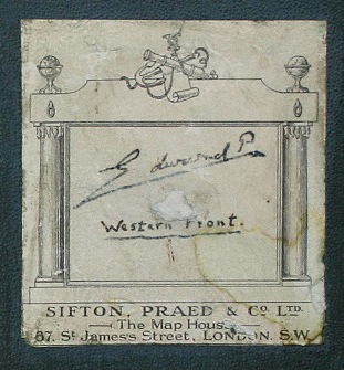
We received our Royal patent as Suppliers of Maps to the Prince of Wales in 1920. Indeed, so fascinated was Edward that he used to slip out of St James's Palace and work, unpaid, in the basement of the Map House. It was evidently on one of these forays that he acquired the boxed set of maps of the Western Front as he has both signed it and written out the title himself on the label, a job usually done by the map-seller before sale.
After nearly seventy years in St James's we moved to our present position in Knightsbridge in 1973. Our six galleries contain the finest and most comprehensive selection of original antique maps offered for sale anywhere in the world. Maps of all periods are represented, ranging from rare and often unique cartographic "incunabula" of the fifteenth century to fascinating records of Victorian science and discovery. 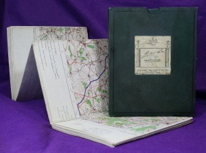
Our enormous stock covers every part of the world reflecting the changing face of cartography over a period of half a millennium. From the tentative groping for knowledge of the German masters to the elegance of early Italian copper engraving; from the magnificent flowering of seventeenth century Dutch cartography to the flamboyant baroque decoration of the eighteenth century; from charming English rococo to the sober Age of Reason - illustrative style is represented in all its beauty and diversity.
In addition to our maps we also hold many fine topographical prints. Early city views, panoramas and rural scenes provide a captivating complement to the historical interest of individual maps.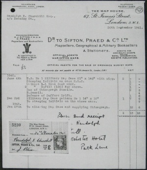 Whilst topography holds a special place in our collection, we also house engravings covering fields of interest as diverse as architecture, anatomy, natural history and sports. We are delighted to supply current stock lists of maps or prints and are able to supply detailed Condition Reports and
  scanned images upon request. We are always pleased to advise on the buying or selling of antique cartographic material, and we also offer both a formal and an informal valuation service. For all items purchased, we supply descriptions and Certificates of Authenticity.